Images update every 20 minutes.
Wildbasin Panorama*
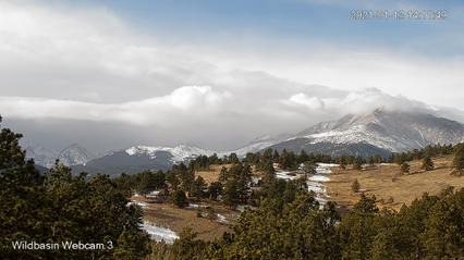 R>L: Meeker, Chiefs Head, Alice, Tanima, Isolation
|
Mt Meeker*
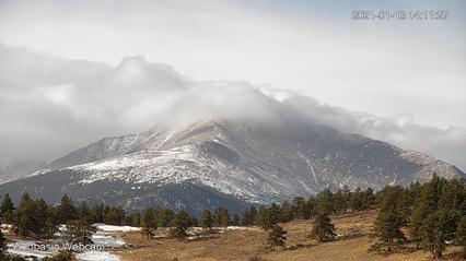 4,242m/13,916' Second highest in RMNP after Longs Peak
|
Mt Meeker, W (higher) & E Summits*
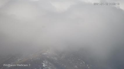 The W Summit of Mt Meeker is often mistaken for Longs Peak
|
Chiefs Head Peak*
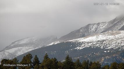 4,139m/13,579' Highest on the Cont. Div. within RMNP
|
Mt Alice*
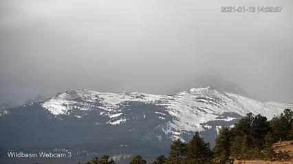 Mt Alice with Mt Orton just below
|
Boulder-Grand Pass*
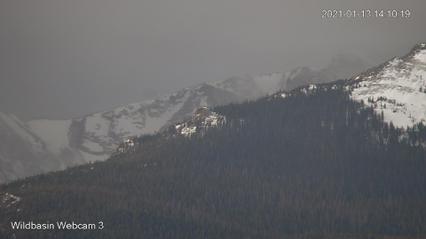 Easiest crossing between Wildbasin and East Inlet drainages
|
Tanima Pk*
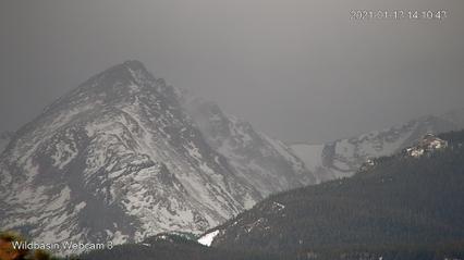 From Boulder-Grand Pass it's a stroll on the tundra
|
Eagles Beak*
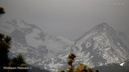 Isolation Pk & The Cleaver behind Eagles Beak
|
Foreground NW
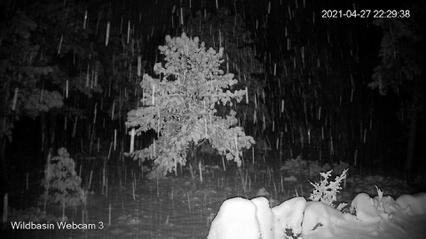 A good gauge of the changing seasons
|
Our Family Tree and the SE sky
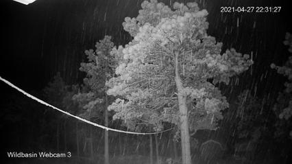 This old Ponderosa Pine dates from 1638 ±10 years
|
Snow Depth at Post Hill, Allenspark, Colorado
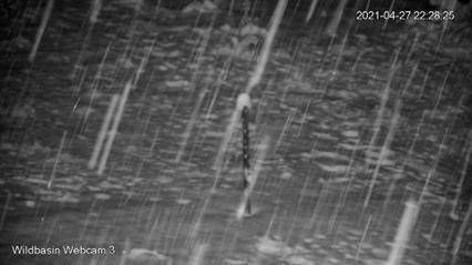 Graduations are in feet - highest is five feet above ground
|
The Flatirons
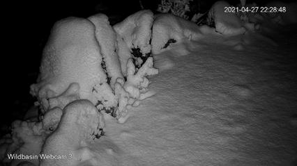 Created by Dan Crane after the iconic formation over Boulder
|
|
* Indicates image updates only during daylight hours
|